Do you need to buy machine or parts?
Please email us: help@komachine.com


This product is manufactured by
SAMYUNG ENC

Manufacturer information
SAMYUNG ENC
Marine communication equipment manufacturer, Shipbuilding electronic navigation communication, AIS, GMDSS, GPS floater and more
Inquiry
How to order
Problem with product info?
Update request
Manufacturer
SAMYUNG ENC
Product Type
Machine
Brand
-
SKU
55296
Product Name
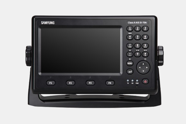
GPS Plotter + Fish Finder(Wide 7")
Model Name
N, NF700
Size
-
Weight
-
Product Details
More products
150/250W MF/HF DSC, NBDP Radio TranceiverSRG-1150D, SRG-1250D
150W MF/HF DSC, NBDP Radio TranceiverSRG-3150D, SRG-3150DN
250W/400W MF/HF Radio TransceiverSRG-250, SRG-400
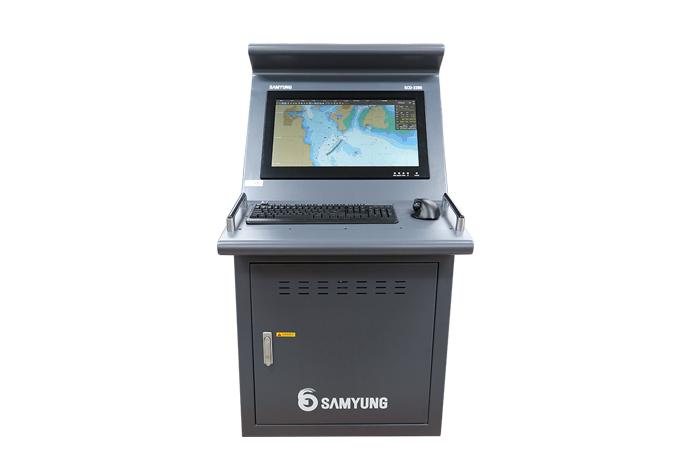
ECDISSCD-2000, SCD-2300
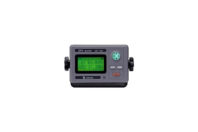
GPS NavigatorSPR-1400, DSPR-1400
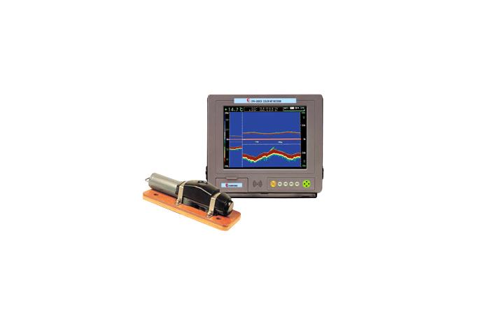
Color Net RecorderSYN-200CR, SYN-400CR
Public Address SystemSPA-100, SPA-7002, SPA-7004, SPA-8008, SPA-8012, SPA-8016
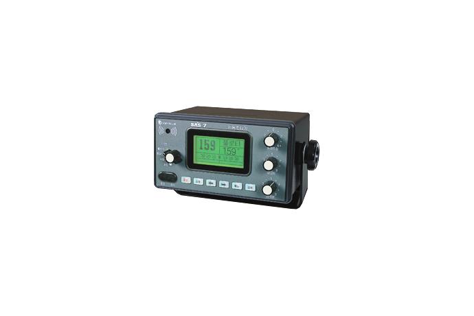
Auto Pilot + Engine Control SystemSAS-7+SM-985
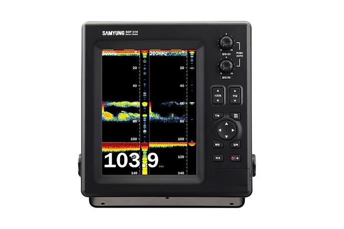
Digital Color Fish Finder(10.4")SDF-310
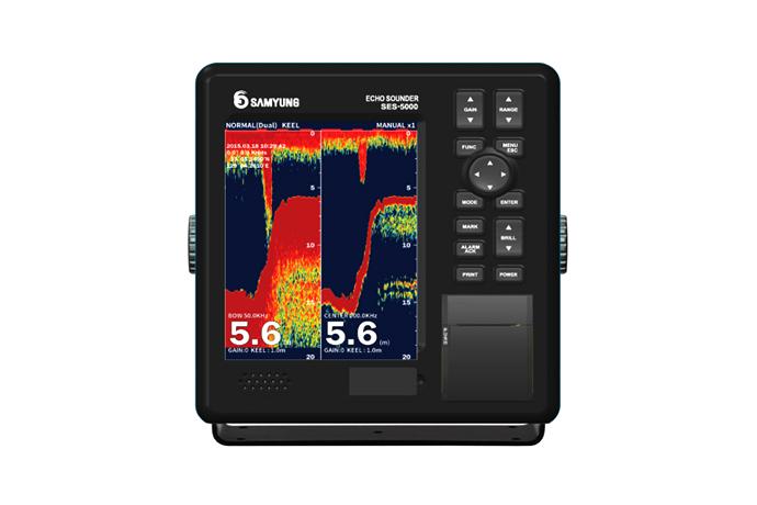
Navigational Echo SounderSES-5000
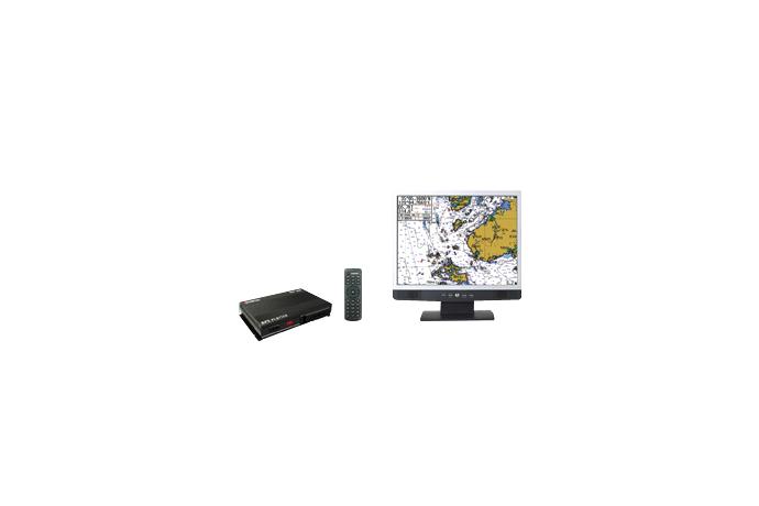
P.P.U (GPS Plotter Processing Unit)SGP-330
Electronic CompassSEC-730
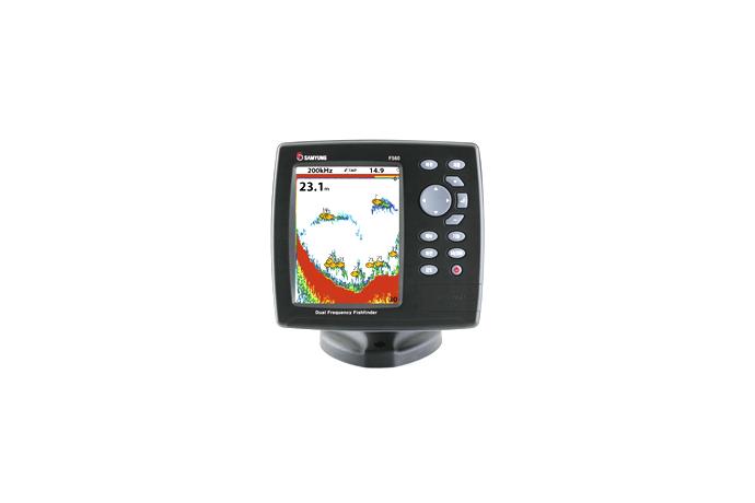
Color Fish Finder(5.6")F560
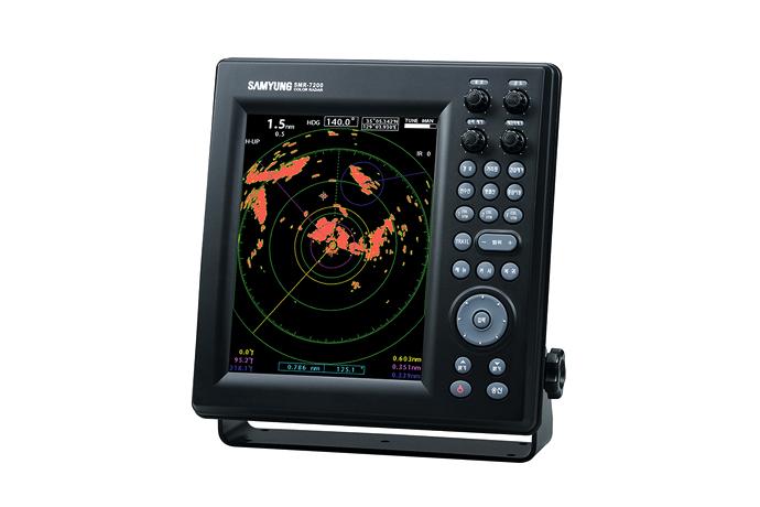
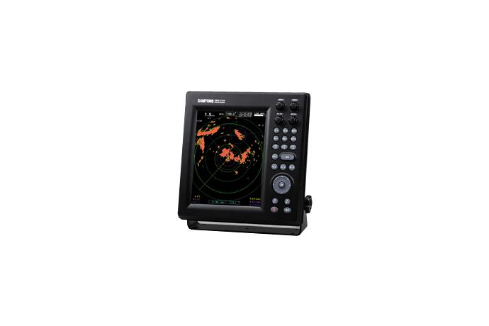
LED Color RadarSMR-7200
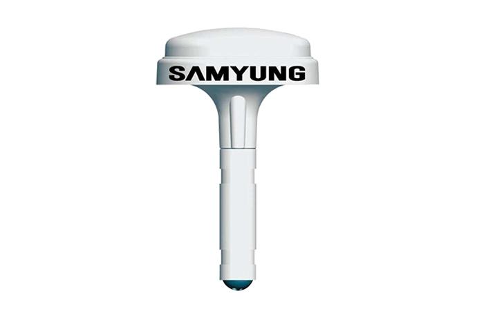
GPS CompassSGC-650
LED Color RadarSMR-3700
1/4